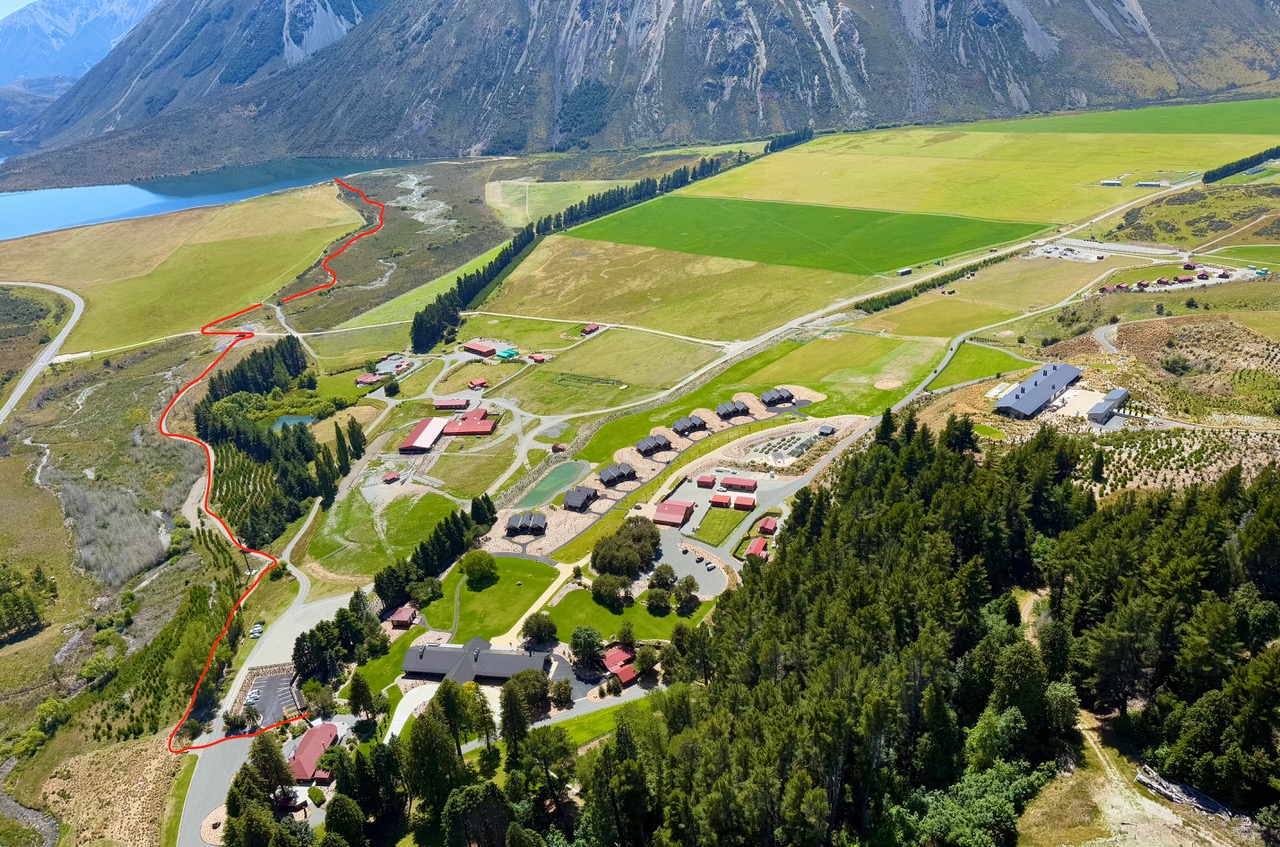
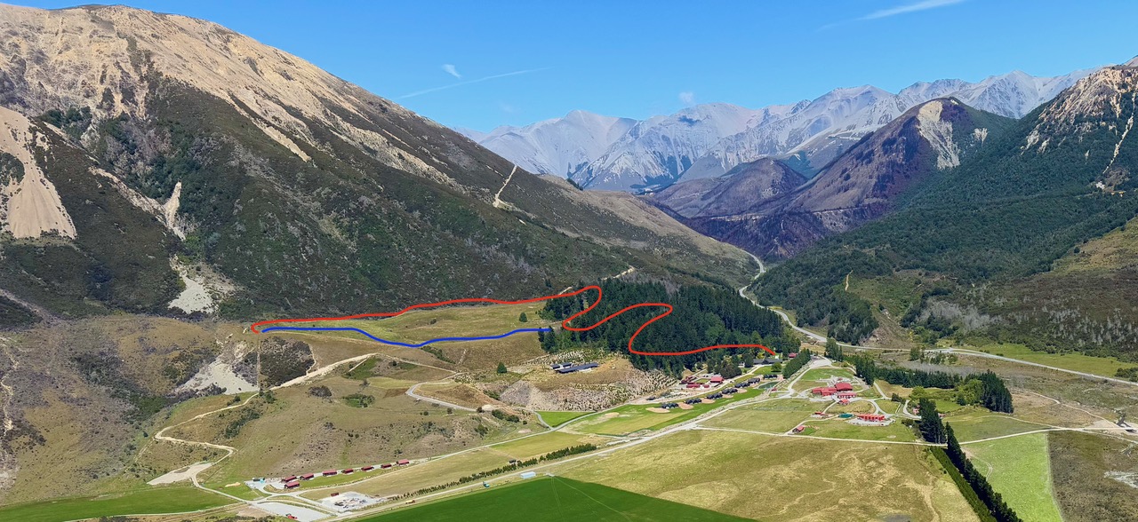
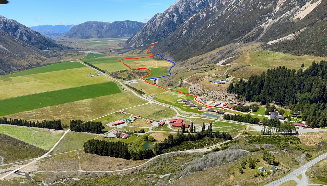
Explore at Your Own Pace

Our property offers a range of scenic trails and landmarks that you can enjoy independently by foot or bike. Below you’ll find directions, estimated times, and what you may find along the way. Please ensure you’ve packed water, sun protection, and a charged phone before you set out.

In Case of an Emergency

  1. Ensure the safety of self and group
  2. Call Emergency Services - 111
  3. Call Flockhill Management
  4. Treat injuries
  5. Manage and monitor the scene
  6. Schedule communication time


Keith Riley - 0272 910 440

Brooke Kirkcaldy - 021 216 1500

Glenn Alexander - 021 485 961

New Zealand Health Line - 0800 611 116

Radios: Channel 4 and/or 5


Collate the following information:

  • Time of incident
  • Location
  • Number of people involved
  • Name of the patient(s)
  • Condition of patient(s)


Lake Pearson 

4km or 2.4 miles return 

Approximately: 1 hour walk return   

Approximately: 20 minutes bike return 

Directions:

Exit the lodge from the pedestrian gate next to Sugarloaf. Across from the car park, you'll find the first sign marking the track to the lake. Once the lake is in site, choose the path along the paddock's edge or the winding path through the matagouri.

What You’ll Find:

An alpine lake framed by dramatic peaks. Keep an eye out for native birdlife. It’s the perfect place to pause and enjoy a quiet moment.


The Knoll 

3.2km or 2 miles return  

Approximately: 1 hour walk return   

Elevation gain: 105 m /344 ft 

No biking along the track.

Directions:
Find the start of the trail behind Sugarloaf, leading into the pine forest. You'll come to a fork in the road; follow the signs directing you to the knoll. Neon triangle markers will lead the way from there. 

What You’ll Find: 

A peaceful lookout point with sweeping views across the valley floor and out over Lake Pearson to Sugar Loaf peak. It’s a favourite spot for sunrise and sunset- a quiet place to take in the vastness of the station.


Rata Falls 

8km or 4.8 miles return  

Approximately: 2 hours walk return via the road

Approximately: 2.5 hours return on the hiking trail - elevation gain 300m/ 984 ft 

Approximately: 1 hour bike return. (15-20 minutes to bike to the bottom of Rata Falls hill, + 15 minutes to walk up to the base of Rata Falls) 

Directions:

Follow the path past the garden, linking onto the road and follow until you pass Team Village on your right. Enter the gate to the farm and follow the signs leading to Rata Falls. Remember to leave all gates as you found them.

What You’ll Find:

Two secluded waterfalls, surrounded by lush beech forest, that cascade to fill our streams.


-->